New Bridge Update
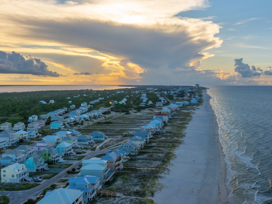
A new southbound-only bridge in Gulf Shores opened in mid-May 2026. With this additional bridge, a new traffic pattern will be established in Gulf Shores and Orange Beach. The southern-most section of the Foley Beach Express by The Wharf is now a northbound-only route. All southbound traffic now utilizes the new bridge to reach the island. Once on the island, drivers will use a roundabout in Orange Beach to travel east or west on Canal Rd.
The new bridge is accessible by a new roundabout near the Foley Beach Express as well as from Cotton Creek Dr.
ALDOT has published maps, simulations, and videos to show the new traffic pattern.
Fly Nonstop to Alabama's Beaches
Driving to Alabama's Beaches is so last year. Our destination now offers nonstop flights to and from several major US cities through Allegiant Airlines. All nonstop flights are three hours or less and land at Gulf Shores International Airport (GUF), just three miles from the beach. There's so much you can do with all the time you'll save!
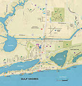
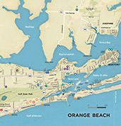
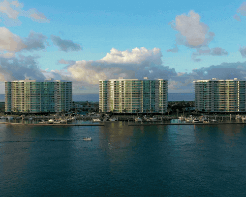
Getting Around Alabama's Beaches
Why Book
Our direct booking experience saves time and removes stress thanks to verified listings, secure payments, and real support. When you book on our site, you can rest easy knowing you are working with local, trusted professionals.
Start Planning
If you’ve haven’t finished planning your vacation or weekend getaway, it’s never too late! Explore our list of things to do and restaurants and book the perfect lodging right on our site!


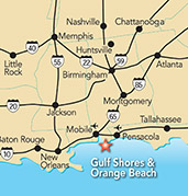
Road
Make sure you have your route planned out for your (at minimum) yearly drive to Gulf Shores & Orange Beach for a relaxing and fun-filled vacation. The Beach Express is the quickest route to our white-sand beaches with its four lanes, fewer stoplights and cross streets, not to mention the higher speed limits that let traffic flow smoothly.